Sunday, August 28, 2011

Geocaching Adventures: The Day Of Rest

Saturday is known as the Sabbath.  The day of rest for practicing jews around the world.  It is a time to renew strength and spend time with their creator.

I, however, am not Jewish.  So what is a non-jew supposed to do on the Sabbath?

Whatever he wants.

This gentile decided to spend his day up in the mountains.  So I packed up the family into the "Van Of Destiny" and took a right hand turn into the Blue Ridge Mountains for some geocaching adventures.


We turned our eyes northeast on this trip and explored the North Carolina counties of Watuga, Ashe, and Wilkes with a list of geocaches as our guide. As always we were not disappointed

We were treated to some spectacular views of mountain scapes, rolling high meadows, meandering mountain streams, cows, horses, craftsman, mountain folk, Christmas tree nurseries, and a series of old silos

 Time for the Intermission: I present to you a one act play featuring Yours Truly and the Tonka Tyke, with special guest star, Bailey The Wonder Puppy.

=== ACT 1 Scene 1 ===

The scene:  A tree nursery overlooking a wonderful mountain vista in North Carolina.
"Where is the cache, Daddy?"

"I think its over there..."

"Come on, Daddy! Lets go get it!"

=== THE END ===

Our morning was going so well that we actually had time to fit in a few more caches than we had originally planned on, so we got to act out this scene a whole heck of a lot.

We slowly worked our way down to Wilkesboro NC where we checked out the remains of an old NASCAR track.  We have seen signs for the track ever since we moved to the area 3 years ago, and even saw it featured on Top Gear (UK) (as an side, if you are babysitting a toddler and don't want to watch Yo Gabba Gabba over and over, and want to murder Elmo in his sleep - Top Gear (UK) is a great show to watch with kids).  It was nice to finally get around to checking out the track, at least the outside of it.


We then went from old to new and checked out
the brand new rest stop just of highway 421 (it even has that new Rest Stop smell!).

The rest stop is actually kinda cool and well worth resting at (there I go, tying in the "Day Of Rest" theme - see how clever that was?).   They have engineered the surrounding landscape to be eco-friendly. One example of which is designing the landscape so water run-off flows into a series of low lands containing plants that filter the water before allowing it to flow into the local water ways.   Interesting stuff.

It also features a really nice nature walk (and a really nice blue ammo can - wink wink) that would be awesome if one needed to stretch their legs after a long drive.


We had lunch at Chick-Fil-A in Wilkesboro and found a few more caches on the way back home.  Zeke enjoyed playing in one of the parks I cached at.  We then finally started the 30 minute drive home in time for Zeke's nap (more resting!).  It sounded like a great idea so I took a nap myself (oops, I did it again!).

After we awokened we went to a local park for a church picnic, and ended the day on a date with the wife to see Rise Of The Planet Of The Apes.

We came home exhausted. Which is the exactly what one expects to do on a day of rest, right? :)

Monday, August 22, 2011

International Geocaching Day in the Blue Ridge Mountains

August 20th, 2011 was designated as  International Geocaching day.   When faced with such a thing, what is a cacher to do?  hrm...  there are some mountains over there... hrm...

We already had a full schedule planned that day, so I woke up early and hit the road.  My destination?  The Blue Ridge Mountains, part of the Appalachians,  20 minutes over and 2500ft up from my front door.

Let me tell ya, it was a great day to be up in the mountains.  The morning are was crisp and cool,  the cloudy sky had the promise of blue skies peaking through.  Perfection.

I only had a few hours to cache but I made the most of it.  I started with a series of caches on Blackberry Road, a really windy road that works its way up the mountain.  Once I hit the parkway it was time to drive one of the best driving roads I have been on: The Blue Ridge Parkway.  Along the way I managed to do a small series of caches displaying some of the more picturesque and interesting silos in the area.


After that it was time to start heading back down to home to pick up the wife and Tonka Tyke for a late breakfast and start our planned adventures for the day... but before I left I stopped by an overlook to take in some mountain view goodness.

It turned out to be a great way to celebrate International Geocaching Day.

Woot.

Monday, August 01, 2011

Geocaching Adventures: Ebey Bluffs

Today is my last day in the Pacific Norhwest and I need to get 200 miles south to Portland to catch my flight tomorrow morning.  Just going south is too easy, so I took a trip an hour north to Whidbey Island to check out the bluffs at Ebey's Landing State Park first.

The bluffs overlook Pugent Sound, the Olympic Mountains, the Straits of Juan de Fuca, and on a clear day, Victoria BC.  The bluffs are also home to several geocaches.

To get to the caches on the bluff one has to walk a very narrow path that snakes along the edge of the bluffs.   In places the bluffs are 200-300 ft high.  It is definitely not a trail for the timid, or the acrophobic.  I actually know a cacher who is acrophobic who did the cache at the top of the bluffs - it took her a while, and she's sworn to never do it again, but she did it.  After hiking this trail I can see why it would cause some concern.  At spots there is only a few feet of grass between you and certain death.

It is a 2.5 mile round trip hike to the Ebey Bluffs cache, and two others along the way.  Once I grabbed those I hiked an additional 1.4 miles along the beach at the base of the cliff to grab the Hula Cache, where one is supposed to post pictures of the finder doing a hula dance.  I did a little hula, but I didn't have anyone to take my picture so I can't prove it.  I did confuse a flock of sea gulls tho.


After the bluffs I drove the 4 hours to Portland and checked into my hotel.  When I did I found out that there was a power trail  (a long series of caches placed as close together as the guidelines allow - in this case 32 caches were placed) that was recently released along a walking trail by the river running beside the airport.  I needed to kill some time and wanted to go for a walk, so I finished my day by doing 11 caches along the trail.   Along the way I was treated to a nice view of Mount Hood.


The flight path for PDX goes right along the river so I also snapped some pics of some planes close up in the air:


To finish off this blog, I leave you with this photo I took of my footprints on the Ebey Bluffs trail.  It seemed the most appropriate way to sum up the unofficial theme of this trip:  Life is a journey, not a destination.

Farewell from the Pacific Northwest. See you on the trails in North Carolina!

Sunday, July 31, 2011

Geocaching Adventures: Tunnel Of Light


Today was a good day to be a geocacher.

In May 2001 Paramount Pictures released a series of 12 caches to promote their latest movie:  Planet Of The Apes.  The caches contained movie artifacts, and was known as Project A.P.E - Advanced Primate Evolution.

Cachers around the world know them simply as the APE caches.  They are part of the holy trinity of caching known as the Triad, which included the original stash, Groundspeak HQ, and one of the APE caches (typically the Seattle one).  I found Groundspeak HQ and The Original Stash on previous trips.  I was looking forward to completing the triad on this trip.

 Two months ago there were only two APE caches left, one near Seattle WA, and the other in Brazil.  A couple months ago the Seattle APE, known as "Mission 9: Tunnel Of Light went missing and was archived.     Since a trip to the Brazilian rain forrest was practically out of the question it looked like I would never get the chance to complete the triad.  Luckily for me a week ago a cacher released a new cache in the same spot as the APE.  Same experience, just a different cache ID.  The APE was back, and today I completed the triad.

I met up with a fellow cacher I met on IRC by the name of WeightMan, and together we hiked the 6.75 miles worth of trails through the amazingly beautiful Cascade mountains.  There are two trails that lead to the APE... a walk through cedar woods called Annette Lake Trail, and the Iron Horse Trail.   We left one car at the Annette Lake trailhead, and drove to the Iron Horse trailhead and did a one way hike.

Now the astute readers among you may have noticed that I didn't describe what the Iron Horse trail is like... you may also have wondered why this APE is called Tunnel Of Light.

Still wondering? Let me enlighten... sort of.

Tunnel Of Light
So to get from the Iron Horse Trailhead you have to walk about 3 miles... most of it underground.  Most of that path is done by walking through an old train tunnel called the Snoqualmie Tunnel.  It is 2.25 miles long, and (mostly) straight as an arrow.   As you enter one end you can see a small speck of light at the other. That spot of light is the exit.

The coolest part of the tunnel was that there is a cache half way down it.  I've never done a cache where GPS signals were not available.   Very cool :)

Once we escaped the tunnel we still had about a mile to hike to get to the APE.  The trail was very smooth, and snaked along a ridge line overlooking a valley.  The sky was clear, the air nice and cool.  Couldn't ask for a more perfect day for hiking and caching.  Along the way we grabbed a few more caches.

The APE cache itself is a large ammo can, and to this point is the largest ammo can I've seen.   I'll spare any more details of the cache itself to avoid spoilers (cachers from around the world come to do the APE, so its quite possible they may read this blog before attempting the APE), except to say that the view from the cache is simply amazing, and the hike is worth it for that alone.  The cache is really just icing on a really delicious cake.


The cache was also WeightMans 1900th find.  Congrats man!  I also released my first travel bug, Alberta The Uber-Moose Of Science, to the public at large.  Travel, little moose, explore the world!

After the APE we continued down the Iron Horse Trail, and took a right turn onto the Annette Lake Trail.  About half way down this trail is another cache called The Rocket Cache, which contained, what I assume, is an ammo can that used to house rockets, making this one the largest ammo can I have seen to date :)

We eventually made our way back to the cars and WeightMan and I parted ways.  I headed back to Renton WA and attended the Washington State Geocaching Associations (WSGA) Summer Picnic event.  I spent the afternoon eating hot dogs, meeting new cachers, and doing group hunts for the caches in the area.  I also met TotemLake, another cacher I met online.  It was a heck of a way to end a perfect day of caching in Washington.

Grand total:  12 caches, 0 DNFs :)

 All in all, it was a great day to be a geocacher.


Wednesday, July 27, 2011

Geocaching Adventures: The Mosier Tunnels


As you may recall I have travelled to the Columbia River Gorge in Oregon for work.

During the day I am working for the man.  In the evenings I am spending my time exploring the amazing natural beauty of the gorge, and finding some geocaches.

This evenings adventure was to explore the Mosier Tunnels.  They are part of the Columbia River Highway, which was build between 1913 - 1922, and in service until 1954 when the nearby Interstate 84 highway was built.  These tunnels were then filled in with rock and stone for safety reasons.  In 1998 the tunnels were cleared out, and the old highway between Hood River and Mosier was turned into a paved walking and biking path.

The trail is also host to several caches, some of which have a very high terrain rating.   I parked at the Mosier end of the trail and hiked a couple miles down the trail.  The first cache is actually on top of the tunnels, but to get there I would have had to climb a sheer rock wall, which I determined upon inspection, was beyond my abilities.  After admiring the tunnel I moved on to the next cache.  With caching, as with many other things in life, it is important to know your limits.

The next cache was a difficulty of 4, terrain of 4 (ratings go from 1-5).  I normally limit myself to terrains of 3, so this was going to be a stretch for me.  When I got closer to GZ it quickly became apparent that I would need to climb up a steep rock pile.  It would be tough, but I figured I could do it, because with caching, as with many other things in life, it is important to keep challenging yourself.

So I started clambering and billy goating myself up 50 or so feet of a loosely packed rock pile.  It was a struggle, but I finally managed to get to the top, and saw the sweet, sweet sight of...

<-- Look!  An ammo can!  Ain't it sweet?

 ... the cache. After signing the log I billy goated back down to the bottom of the pile, and with a rather proud feeling about myself, I kept moving down the trail.

I had time for one more cache, which was just a bit further down the the trail.  Then with the sun setting behind me I executed a retrograde maneuver and returned to my car, and drove back to the hotel.


There are a couple more caches on the Hood River side of the trail that I did not have a chance to get this evening.  Hopefully I'll be able to snag them before going home.   This is one interesting trail.

Columbia River Gorge - I love this place!


Tuesday, July 26, 2011

Geocaching Adventures: Catherine Creek

Occasionally I need to travel for work.  This week is such an occasion.   So where had work sent the bear this week?

 Oregon.

Specifically the Columbia River Gorge on the Washington/Oregon border If you have never been, the Columbia River Gorge is a mix of a wide, active river, surrounded on both sides by tall hills, water falls, forests, grasslands, and rocky outcrops.  It is a landscape that I do not think exists on the east coast.

 The temperature is a refreshing  78f and partly cloudy.  Perfect caching weather in a perfect caching landscape.

All afternoon I was sitting in a conference room in our office, looking out the windows, and taking in wonderful views of the gorge.  It beckoned me.  It called to me with its siren songs... explore me... cache me... dude, seriously, get it in gear!

So what is a cacher to do?  I am glad you asked.  As soon as I got off work I grabbed my gear and hit the trails.  Destination:  Catherine Creek.

Catherine Creek is on the Washington side, and has two separate areas:  A one mile paved trail that winds through the lower parts close to the Columbia river (close being approximate as it is still 50ft above the water), and a much more rugged section that has dirt and stone pathways that snaked through the tall hills that make up the gorge.  I started by walking the paved path, and grabbed 3 caches.  The views of the river were astounding.
Once I did the paved pathway I decided to see if I could get a cache on the rugged trails going up the hills. So I put a cache in the GPS and started the climb up.  The trail was a dirt path with a lot of loose stone strewn all over.  The landscape of the gorge is different than I am used to.  In the east most rock is solid granite. In the gorge it tends to be piles of smaller rocks.   It gives the area the feeling that its older and more worn.

 After I found the first cache I decided to go for another one further up the trail.   The name of the next cache was Canadian American Trading Association.  Being a Canadian in America I figured I had to find that cache.  Pretty soon I was billy goating up some steep trails (don't worry, its not *that* bad - geriatric billy goating at best).

Interesting rock formation.
Before I knew it I was 3 caches (all ammo cans too!), a mile down the trail, walking a ridgeline, and the sun was starting to set.  I decided to head back before dark set in.  The terrain is very navigable in the light, but all the small rocks strewn about would make hiking them at night difficult at best.

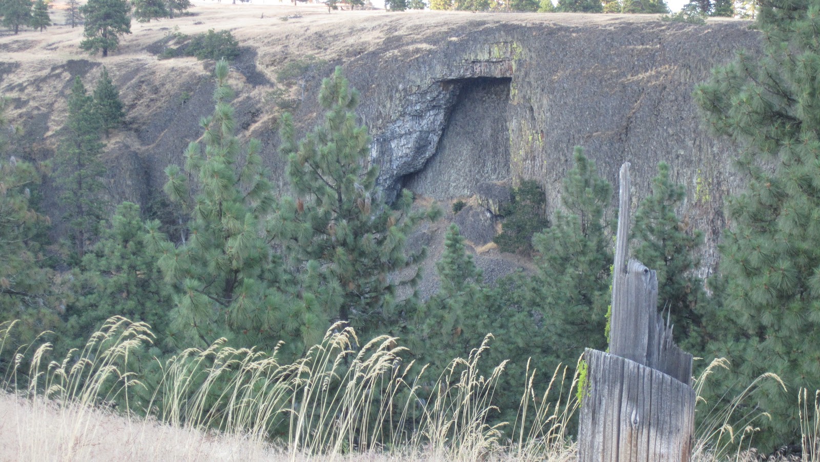
 On the way back I decided to take a detour for one last cache that overlooked an interesting rock formation, so once more I billy goated up some steep, rocky trails and pathways to get a view of this -->

Totally worth it.  After that I headed back down the trails to the car before the sun went down completely. It was a great hike.

There are more trails in the area, and more caches.  I may have to come back here before I head home again.  But if not at least I have excellent memories of that one time I cached Catherine Creek overlooking the Columbia River Gorge on an amazingly beautiful cool summers day.... outstanding.

Friday, July 22, 2011

Syndication: The cachecrazy.com Connection.

My series "Bears Across America" is being re-posted on another caching blog, cachecrazy.com.

A couple weeks ago I was contacted by a geocacher by the name of BLOODHOUNDED, one of the admins at cachecrazy.com.  He said he liked my stuff and wanted to know if I would let him put some of my blog posts on his site.  I agreed, and became an officially syndicated author.  How cool is that?

They are going to post the series starting tomorrow, and every Saturday and Sunday until Sept 18.  So be sure to check it out for my series, and many other excellent articles on the topic of caching.

Check out the introduction to the series here.